A project aimed at reducing the risk to properties from wildfires in the Commodore Heights neighbourhood, north of Williams Lake, is set to begin.
The Cariboo Chilcotin Natural Resource District will be partnering with Alkali Lake Resource Management Ltd. on the project, which may start as soon as May 15, 2025.
Five treatment areas will be completed over the course of the next year, covering 26.3 hectares, adjacent to residences on Mile 168 Road.
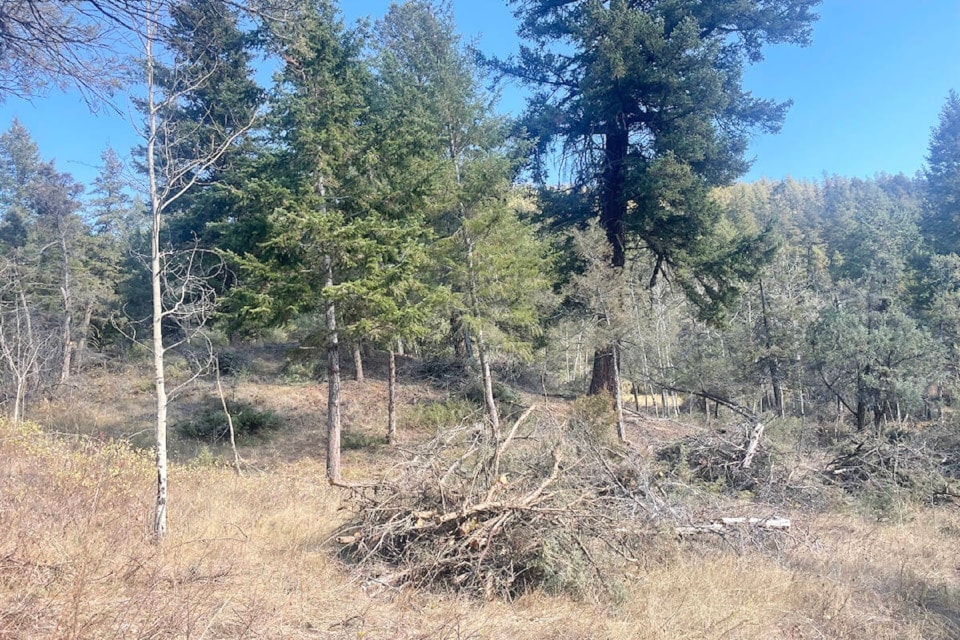
Crews will use chainsaws, pole saws and hand tools to create gaps between the larger, mature timber in the area and smaller understory trees will be thinned. Larger trees will have branches pruned up to three metres.
Wildlife trees, deciduous trees and coarse woody debris will be retained for wildlife habitat and the forest fuels to be removed will be piled by hand no larger than two metres by three metres and then burned in the fall or winter, when conditions allow.
Boundaries of the project will be marked with orange ribbon and does not include private property. Residents in the area are asked to be very cautious and respect the worksite and the workers on site.
The project is meant to help reduce wildfire risk to the city of Williams Lake, residences on Mile 168 Road and the surrounding area by strategically removing and reducing forest fuels. Removing branches and thinning understory trees reduces the ability of wildfire to climb from the ground to become a canopy fire. Thinning and pruning also reduces the overall intensity of a wildfire in the treated area, if one does occur.
This is just one of a number of wildfire risk reduction projects behind done around Williams Lake by the Ministry of Forests. Fox Mountain, Airport Road, South Lakeside, Dog Creek, Chimney Valley, and Lower Comer areas have also had risk reduction projects.
The Cariboo Fire Centre area currently is under a Category 2 and 3 open burning prohibition.
For the latest information on current wildfire activity, prohibitions and restrictions, road closures and air quality advisories, go to: www.bcwildfire.ca, check the BC Wildfire Map or use the BC Wildfire app.

