Update: The snowfall warning issued for Williams Lake early Friday has ended and there are no alerts in effect.
With the temperature expected to drop to -13C Friday evening, Environment Canada is predicting a 60 per cent chance of flurries for Saturday, highs of -3C and highs of 1C for Sunday on through until next week.
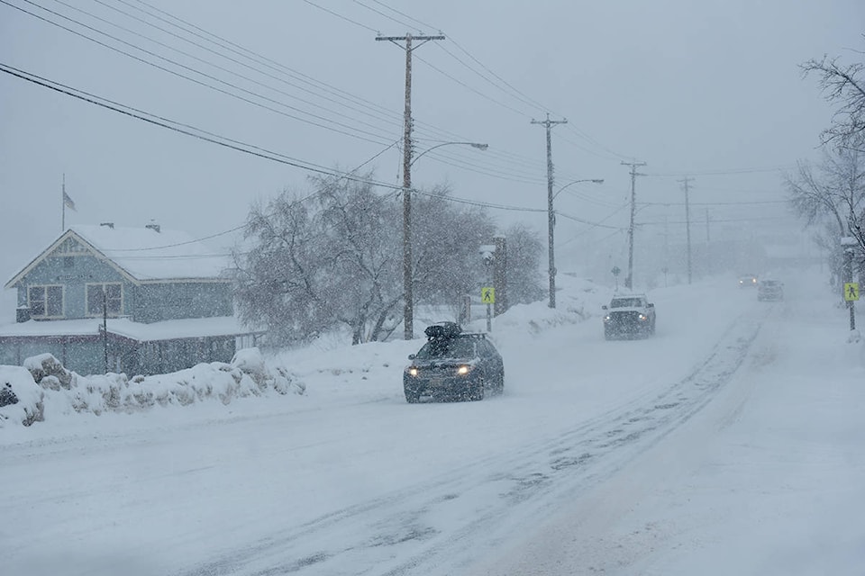
There are no major events listed on area highways in the Cariboo, however, Drive BC is reporting compact snow and slippery conditions or limited visibility in many areas.
Original story:
The good news is it warmed up overnight in the Cariboo.
The bad news is there is a snowfall warning in effect for the areas of Williams Lake and Quesnel.
Environment Canada issued the alert at 4:48 a.m. Friday morning, Feb 23, for the Cariboo north including Quesnel and Cariboo south including Williams Lake.
Snowfall with amounts totalling 10 centimetres is expected.
“A trough of low pressure moving through the central Interior of B.C. will produce widespread snow this morning,” states Environment Canada. “The snow will ease this afternoon as the trough moves to the south.”
Motorists should be prepared for quickly changing and deteriorating travel conditions. Rapidly accumulating snow could make travel difficult over some locations.
The temperature in Williams Lake started at -12C but is expected to rise to -6C.
Winter hasn’t wanted to let go its grip on the central Interior this year, with daily snowfall records broken more than once in February.
DriveBC is reporting compact snow with slippery sections on local highways, as well as limited visibility with blowing snow between Williams Lake and Quesnel and on Highway 20 from Williams Lake to Alexis Creek.


