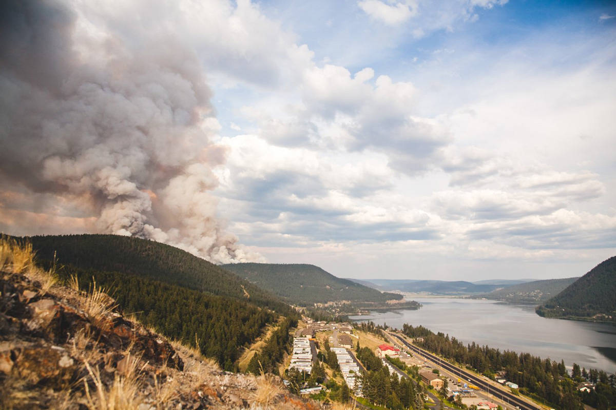
Friday’s burnout of the 150 Mile House wildfire was effective in strengthening the control line, said Cariboo Fire Centre fire information officer Noelle Kekula Saturday.
“The 2,600 hectare fire is now 50 per cent contained,” Kekula said.
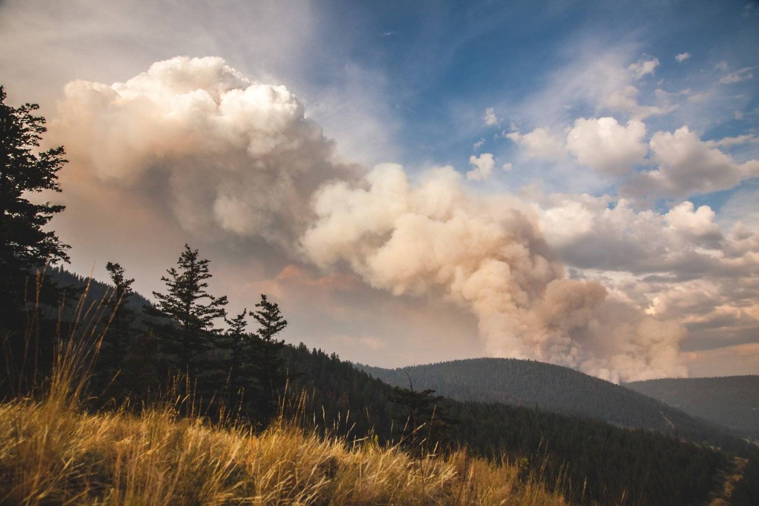
During a media tour Friday afternoon Kekula explained how planned burns work and the different types of burns.
The first was a burnout.
“This is the burned fire and this is the unburnt fuel and this is the control line,” she said while drawing on a piece of paper. “So what we want to do is burn out the unburnt fuels between the fires and our control line. So we are burning out any of those unburnt fuels.”
The control line can be anything from a power line, a meadow or even a man-made road perimiter.
“There are various things that define a control line.”
Little burnouts are conducted every day, she said.
“It’s one of our tools because we are always wanting to try and get rid of that green fuel because that’s how it’s going to stop burning.”
The second type is a burn off, which Kekula said is when they burn off green timber inside a fire.
“If there’s a bit of green in the fire that we are worried about, we will burn that off as well.”
Thirdly is the back burn.
“If the fire is raging and coming, we will actually light it at the control line and bring it to the fire so that there’s no fuel to burn.”
All of the burns are done to get rid of green fuel that could cause problems later on, she added.
BC Wildfire Update Saturday, July 15 for fires of note
Wildwood Fire
2,500.0 hectares (estimated)
40 per cent contained.
Resources
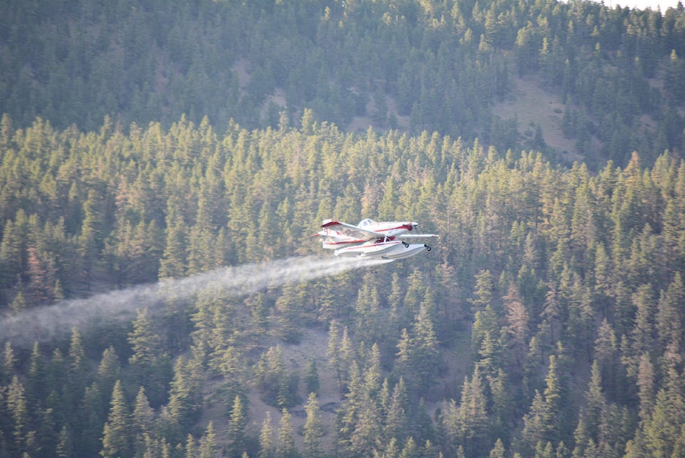
85 firefighters, 17 pieces of equipment, air support, line locators and support staff.
White Lake
Northwest of Williams Lake
3,800.0 hectares
60 per cent contained
Resources
61 firefighters, 12 pieces of equipment, air support, line locators and support staff
Today, crews are enhancing the control lines on the south and east flanks
Tautri Complex
Located just north of Rosita-Meldrum Forest Service Road, approximately 80km northwest of Williams Lake.
11,000.0 hectares and zero per cent contained.
It is currently being assessed for resource needs and plan of action.
Map & Photos: There are no maps or photos available for this fire.
Spokin Lake Road
Located near Spokin Lake, which is located approximately 20 km east of Williams Lake
460.0 ha and 75 per cent contained
Crews continue to make progress with the construction of containment lines
Soda Creek Fire
Located on the west side of highway 97, 17 km northwest of the Williams Lake Airport
250.0 hectares and 30 per cent contained.
Resources: six firefighters, four pieces of equipment and air support.
Riske Creek
Located 50 kilometres southwest of Williams Lake
7,000.0 hectares, no further details.
Kleena Kleene Complex
Located west of Highway 20, approximately 200 km west of Williams Lake
2,300.0 hectares and active. No further details at this time.
Hawkes Creek
Located on the east side of highway 97, eight km due north of Williams Lake Airport
525.0 hectares, 25 per cent contained.
Resources 75 firefighters, 10 pieces of equipment, and air support.
Hanceville Fires
Numerous fires in the Hanceville area, located approx. 60 kilometers southwest of Williams Lake
Estimated to be 40,000.0 hectares and zero per cent contained.
Chezacut Complex
Located approximately 140 km northwest of Williams Lake
3,000 hectares in size, no further details.